Real Estate
Real Estate
Homes | Condos | Farmland
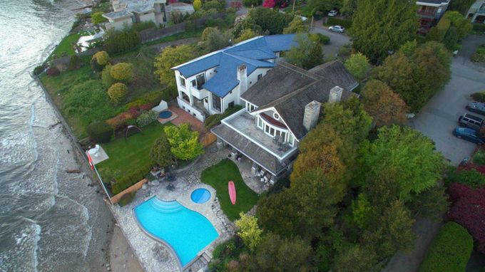
Do you have a large estate to show off, or wish to capture a
unique perspective for buyers? By working with you from start to finish, you can be assured to receive
eye-candy photo and videos
of your home, apartment, or developments. We do the editing, post processing, and video creation for your estate.
02
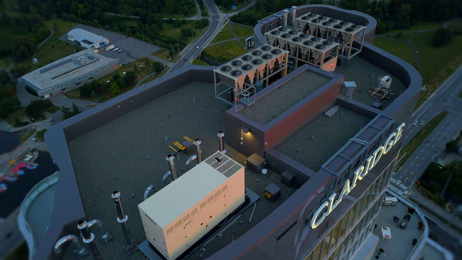
Home Inspections
Roof | Gutters | Infrastructure
Why risk resources reaching high places when drones can do it safer and quicker? Without the need for any safety gear or equipment, drones make an excellent alternative to regular roof inspections by reaching spots that are unsafe or hazardous to workers. The ability to inspect multiple spots helps save you from unnecessary downtime and get faster results!
Inspections & Monitoring
01
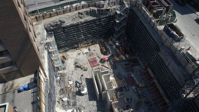
Commercial Inspections
Volumetric Measuring | Powerlines | Cell Towers


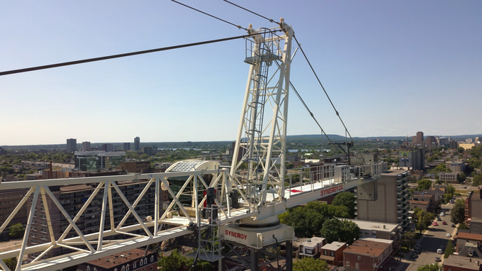
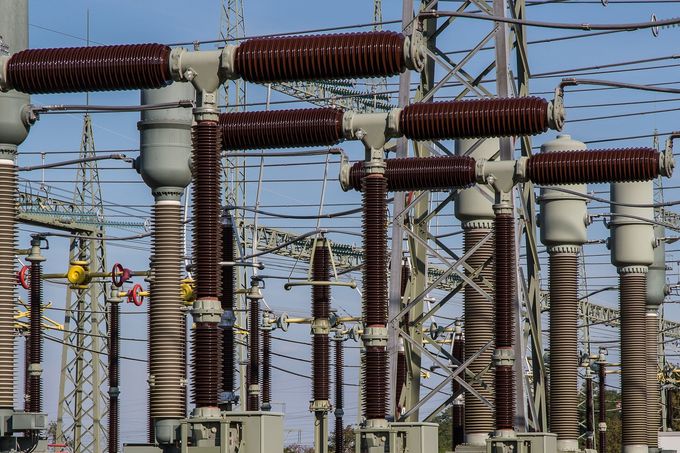
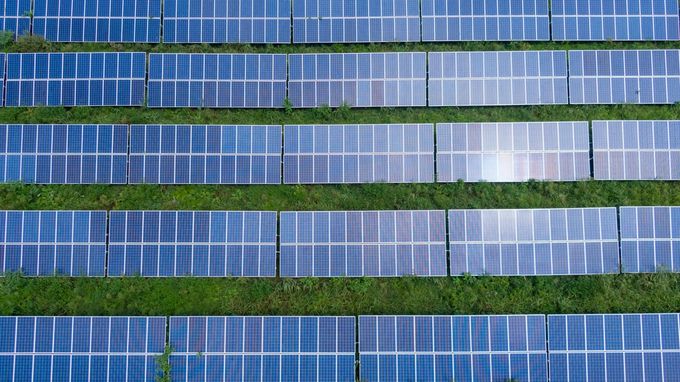
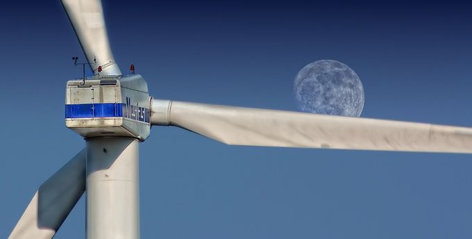
Looking for a closer look in hazardous environments? Drones offer a great and safe alternative to the commercial environment. Save time and money without needing to obtain permits or equipping workers to inspect for damages or routine maintenance.
WorkSafeBC surveyed that over 50% of construction deaths were a result of falls.
We also offer
volumetric measuring
to determine construction material volume; so that you know precisely how much material you have left.
02
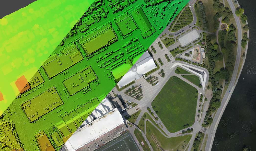
Routine Monitoring
Timelapse | Work Sites | River erosion
We provide routine location monitoring allowing for frequent data updates. Everything from work site development to land mass monitoring, our monitoring services allow you to evaluate progression of projects, shifts in landscapes, or erosion of waterways. By collecting multiple photos from the same position, we can create timelapse videos for faster and more effective reviews.